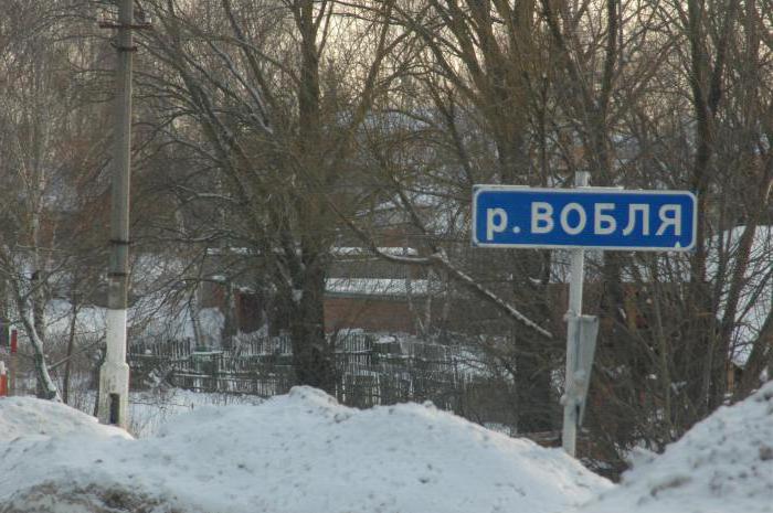
The Chumysh River flows in the Kemerovo Region andAltai. It is the right tributary of the Ob. A feature of Chumysh is the presence of two sources - Kara-Chumysh and Tom-Chumysh, which are located in the Kemerovo region (on the Salair ridge).
Geography
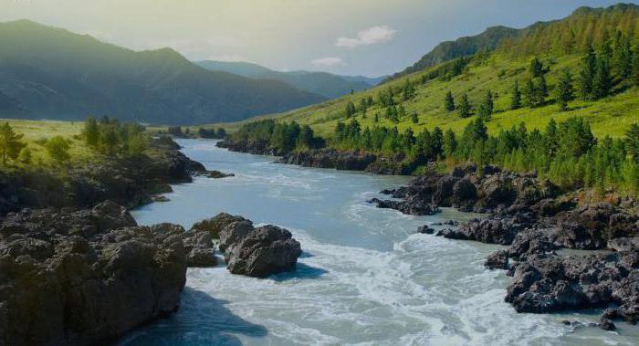
The total length of the Chumysh River is 644 km. Its basin has an area of 23,900 km². The mountain section of the river in the upper reaches is quite rapids, with a rapid current. Near the mouth of Chumysh breaks into two sleeves.
В 88-ти километрах от Барнаула, вниз по течению, the river flows into the Ob. Most of the Chumysh basin is located on the Biisk-Chumysh Upland. About 68% of the right bank of the river is occupied by the Presalaira plain and the Salair ridge, adjoining it with its southwestern part.
Hydrology
The Chumysh River feeds mainly onmelting snow (as many rivers of Altai), and to a lesser extent - from underground sources and rainwater. The river freezes at the beginning of November, but is "opened" in April (more often in the second half of the month).
In the 21st century Chumysh minted.Therefore, river navigation became impossible. But in the XIX and early XX century along the river there were ships. However, at the present time only small boats can move to the village of Yeltsovka.
Main tributaries
The largest tributaries of the described river are:
- the source of the Chumysh River (which is also its left tributary) is the Kara-Chumysh River with a length of 173 km;
- the right tributary of the Uksunay (165 km);
- Alambay (right tributary with a length of 140 km);
- the right tributary of Tom-Chumysh is 110 km long.
Further along the length follow: Sungai (103 km, right); Talmenka (99 km, right) and Sary-Chumysh (98 km, left).
Description
Near the village of Kostenkovo, the river is so smalldepth that it can be waded. The width of the river in this area is not more than 60 meters. The river bed in places is stony, with frequent chalk. After the village the river narrows and becomes deeper. At the same time the speed of its current is about 5 km / h.

From the village of Alekseevka to the confluence of Sary-Chumysh(left tributary), there are no serious obstacles on the river. But there are no convenient places for parking as the banks are overgrown with thick bushes. And already closer to Yeltsovka the banks start smooth and without thickets.
After the village of Sary-Chumysh and before Yeltsovka, the riverbedalmost doubles. The current decreases to 3 km / h. However, this area is known for its rapids. But to pass them is not difficult, because they are visible from afar, and the current here is weak.
After Yeltsovka, the number of rapids sharplydecreases. However, there are more islands, between which the depth of the ducts is very small. Behind the village of Chesnokovo rapids appear again. But here they are of a different type (without stones and in the form of a series of boulders).
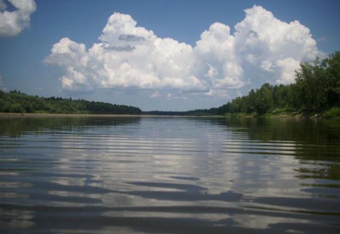
Then there are no special obstacles. And near the village of Kytmanovo the river becomes a plain, with a very slow current. So, it's not so interesting to raft it any further.
Attractions of the Chumysh River
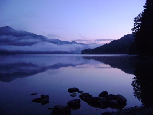
In addition to the picturesque landscapes, which are characterized by a calm variety, along the river, there are several interesting sights. They are listed below:
- Near the village of Zhulanikha there is a monastic monastery(next to the holy key). In 1910, they built a church, and then a chapel, which was consecrated in honor of St. Alexander Nevsky. In 1918, the inhabitants of the desert were shot, and in the 90s an Orthodox cross was placed on the scene of the execution. Every year, a religious procession to the holy key is organized.
- Ancient Catherine tract of tsarist times. This is a very interesting place. On this route in the Tsarist times, trade communication was conducted (through the Salair mountain) with the Kemerovo region.
- Local History Museum in the city of Zarinsk. There are more than 10 000 exhibits. The museum hosts a variety of exhibitions, including works by Altai artists.
- Ascension church in Zarinsk.
- Starokopylovskie colored clays - uniqueA natural monument, which is a deposit of clays of different colors. It is located on the right bank of the Chumish. The deposit is listed in the Red Book of the Altai Territory, and it is more than 400 million years old.
- Salair ridge (small height - up to 500 m). It is a mountainous structure with an arcuate shape and a length of about 300 km.
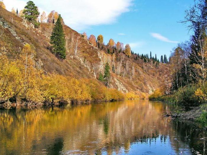
The Chumysh river is interesting for its picturesque landscapes and fishing. Here are found bream, perch, roach, ruff and other types of fish. For lovers of a relaxing holiday in nature, the Chumysh River is the best.