Russia is an aquatic power.Many large and small rivers, lakes, seas and even ocean waves splash about its shores. Mother Volga, Don-father, gray-haired Irtysh, majestic Tobol - you can list the names for a long time. Each reservoir has its own history, a glorious biography and many interesting facts that old residents of those places can share.
Name and geographical coordinates

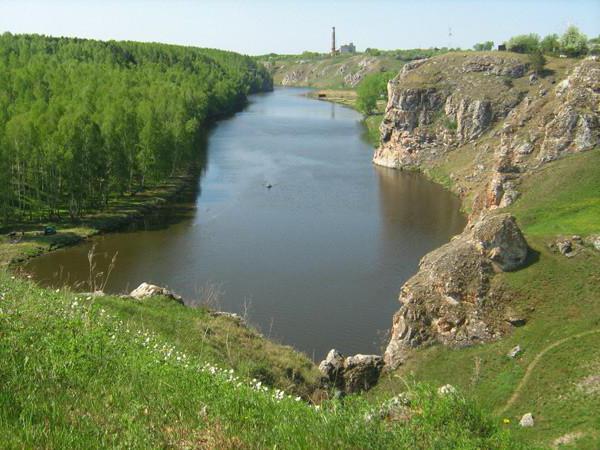
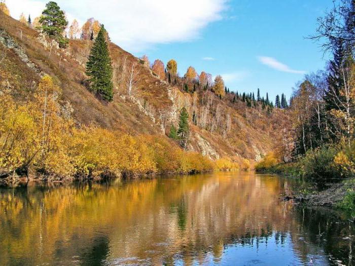
What is unusual about the Tobol River?First of all, the geographical position. It flows through the two largest states of Eurasia, Russia and Kazakhstan. In Kazakh, its name sounds close to the Russian version - Tobyl. The ancient beauty of the Irtysh pours its water, being its left tributary. The Tobol River has an impressive length of 1591 kilometers. Equally impressive is the total catchment area. It has, no less, 426 thousand kilometers. The Tobol River is associated with a huge number of lakes - more than 20 000. Its origins should be sought near Bozbi and Kokpektysai. It was the merger of these rivers that gave birth to Tobyl - on the eastern borders of Yuzhnouralsk and Kostanay oblast (Kazakhstan). Stretching its strength, spreading in breadth, the Tobol River flows further along the expanses of Western Siberia.
Natural characteristics

The water body has a mixed water.In the upper reaches it is due to the melting of snow and ice. The lower descent along the riverbed, the more the water level in the Tobol River depends on the rains spilling in those localities. The flood season therefore begins at the source in April, the first half, when spring actively enters into its own rights. Continues until around June 1-2. In the lower reaches, the water level in the Tobol River is replenished until the first half of August. In addition to natural, natural factors, the complex of reservoirs, the degree of flow / intake of water in them have a serious impact on it. With the onset of cold weather, from late October to November, as a rule, Tobol ice is covered. Melting occurs in mid-April. Also, the level of the Tobol River is determined by its left tributaries - Ui and Iset (small), Tura and Tavda, playing the role of important navigable arteries of Siberia. The right tributary of the river is the river Ubagan. Tobolskoye riverbed is quite meandering, and the flow of water is smooth, calm.
National Economic Significance

This "blue artery" of the country is interesting for manyparameters. In the period of high water, large lots of wood are melted along it. Shipping is of regional importance and is active until frost. The way of other transport means of water of passenger and cargo type extends to 430 km from the mouth. Wonderful nature, good ecological background, developed tourist infrastructure and a lot of medical and recreational organizations make these places extremely popular among fans to travel, actively rest, fish, go in for water sports or just lie on the hot Urals-Siberian summer sun and have plenty to swim. According to people experienced, fishing on the Tobol and most of its lakes, as well as tributaries, is excellent. Of the fish there are the pride of Russian ponds - pike, as well as yazi, bream, perch, roach, carp and many others.
Well-known settlements of the basin


